Home › Festivals › Red Food Festival
Red Food Festival 2026
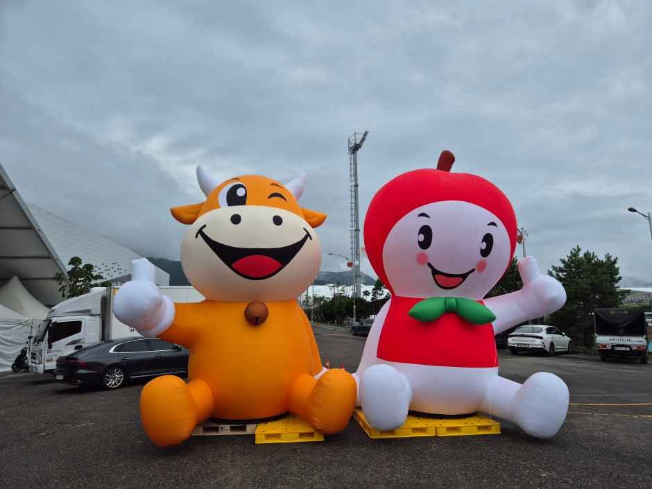
- 📅 Dates
- Sep 10, 2026 – Sep 13, 2026
- 📍 Location
- 378, Hannuri-ro, Jangsu-eup, Jangsu-gun, Jeonbuk-do
- 🎫 Admission
- Free
- 🕘 Hours
- 10:00~18:00
- 🎪 Venue
- Uiam Park area, Jangsu-eup, Jangsu-gun, Jeonbuk-do
- 🏛️ Organizer
- Jangsu Red Food Festival Promotion Committee
- ☎️ Contact
- +82-63-350-2356
Overview
*The information below is based on the 2025 festivals. Details for the 2026 festivals will be updated as they become available.*The Red Food Festival celebrates the famous agricultural products of Jangsu, such as Hanu beef, apples, tomatoes, and omija, all themed around the color red. With the slogan “Falling for the Color, Savoring the Taste,” the festival features red agricultural products as the main attractions. The event includes food-related experiences, various performances, apple harvesting experiences, and the Hanu Bale Carrying Contest.
Source: Korea Tourism Organization (official English translation, TourAPI).
What happens at Red Food Festival
- Korea’s largest Jangsu Hanu Madang
- Apple Madang
- Red Food Zone
- Jangsu Red Food Cooking with Hong Seok-cheon
- Jangsu Temple Food Cooking Experience
Official programme as registered with the Korea Tourism Organization. Details can change — check with the organizer before you go.
🇰🇷 Copy this into Naver Map or Kakao Map
Google Maps cannot give walking or transit directions inside Korea — Korean law restricts map-data export. Naver Map and Kakao Map can, but they find far more when you search in Korean. Copy and paste:
📊 How busy this area gets
Visitor-volume index for 장수군, from Korea Tourism Organization big data. 1.00 = that area's own yearly average, so this compares the area against itself — not against Seoul.
Sep — 1.08 · quietest of the months we have
The index covers the whole district, not the festival ground itself. Use it to pick a month, not a day. · Sep 1.08 / Oct 1.29
🅿️ Nearby attractions — with actual parking capacity
Most sites only say "parking available." These are official figures from the Ministry of the Interior and Safety, so you can judge before you drive.
Names and addresses here stay in Korean on purpose. Google Maps cannot give directions inside South Korea, and NAVER Map / KakaoMap find these places only under their Korean names — copy an address above and paste it straight in.
🏮 Traditional market days during the festival
Korean country markets open only on days ending in fixed digits — every 5 days. These are the actual dates they open while the festival runs, so you can add one to the same trip.
Names and addresses here stay in Korean on purpose. Google Maps cannot give directions inside South Korea, and NAVER Map / KakaoMap find these places only under their Korean names — copy an address above and paste it straight in.
🎪 Other festivals nearby at the same time
Overlapping dates, within 60 km.
Nearby Attractions
Places within 12 km of the festival venue (straight-line distance), described in English by the Korea Tourism Organization. Travel time depends on roads and traffic, so only distance is shown.
-
Jangansan County Park장안산군립공원 Attractionapprox. 2.8 km
Situated in Jangsu-gun in Jeollabuk-do, Jangansan Mountain (alt. 1,237 m) was officially designated a county park in 1986. Deoksan Valley Stream, which originates in the…
Korean address for map apps전북특별자치도 장수군 계남면 장안리 -
Jinan Baegundonggyegok Valley백운동계곡(진안 Attractionapprox. 9.4 km
Baegundonggyegok Valley is between Deoktaesan Mountain and Seongaksan Mountain. The water in the valley flows into the Seomjingang River, and there are many small…
Korean address for map apps전북특별자치도 진안군 백운면 백운동로 325-8
Google Maps cannot provide driving or transit directions inside South Korea. Paste the Korean addresses above into NAVER Map or KakaoMap — both work with these addresses and are what people here actually use.